Dostawa
Doradca ds. zakupów
15 998 648 książek w 175 językach


Pokaż wszystkie języki (175)


Jednak się nie przyda? Nic nie szkodzi! U nas możesz zwrócić towar do 30 dni
 Bon prezentowy
O dowolnej wartości
Bon prezentowy to zawsze dobry pomysł. Obdarowany może za bon prezentowy wybrać cokolwiek z naszej oferty.
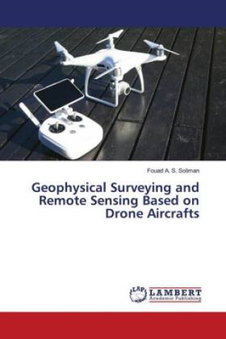
Geophysical Surveying and Remote Sensing Based on Drone Aircrafts
 Angielski
 123 b
123 b
30 dni na zwrot towaru
Mogłoby Cię także zainteresować


Aerial survey is a method of collecting geomatics or other imagery by using airplanes, helicopters, UAVs, balloons or other aerial methods. Typical types of data collected include aerial photography, Lidar, remote sensing (using various visible and invisible bands of the electro-magnetic spectrum, such as infrared, gamma, or ultraviolet) and also geophysical data (such as aeromagnetic surveys and gravity. It can also refer to the chart or map made by analyzing a region from the air. Aerial survey should be distinguished from satellite imagery technologies because of its better resolution, quality and atmo-spheric conditions (which can negatively impact and obscure satellite observation). Today, aerial survey is sometimes recognized as a synonym for aero-photogrammetric, part of photogrammetry where the camera is placed in the air. Measurements on aerial images are provided by photogrammetric technologies and methods.
Informacje o książce
 Angielski


 Jak kupować


