Dostawa
Doradca ds. zakupów
16 131 539 książek w 175 językach


Pokaż wszystkie języki (175)


Jednak się nie przyda? Nic nie szkodzi! U nas możesz zwrócić towar do 30 dni
 Bon prezentowy
O dowolnej wartości
Bon prezentowy to zawsze dobry pomysł. Obdarowany może za bon prezentowy wybrać cokolwiek z naszej oferty.
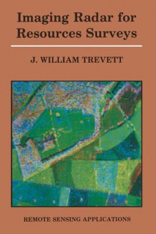
Imaging Radar for Resources Surveys
 Angielski
 304 b
304 b
30 dni na zwrot towaru
Mogłoby Cię także zainteresować


The use of air photographs as an aid to understanding and mapping natural resources has long been an established technique. The advent of satellite imagery was, and indeed by many still is, regarded as a very high altitude air photograph, but with the introduction of digital techniques the full analysis of imagery has become very sophisticated. Radar imagery presents the resource scientist with a new imaging technique that has to be understood and used, a technique which, although in many respects still in its infancy, has considerable applications potential for resources studies. Remote sensing now forms an element in study courses in the earth sciences in many major universities and a number of universities offer specialist post-graduate courses in remote sensing. Nevertheless there are a large number of earth scientists already working with imagery who have progressed from the air photograph base to satellite imagery. Such scientists may find themselves confronted with microwave or radar imagery or wish to use the imagery for surveys and find themselves hindered by a lack of understanding of the differences between radar imagery and optical imagery. Unfortunately reference to much of the literature will not be of very great help, many excellent text books on the theory and interaction of microwaves, on instrument design and construction and on the research carried out on specific target types exist, most of these are however written for specialists who are usually physicists not earth scientists.
Informacje o książce
 Angielski


 Jak kupować


